Lost Christchurch
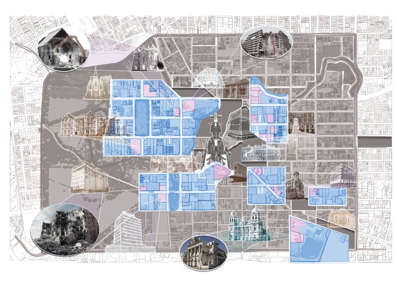
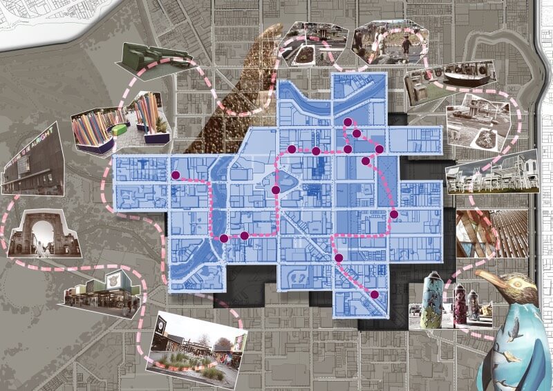
The Lost Christchurch and Pop-Up Urbanism maps are two diagrams working from the same design process and style, and are made to be complementary. The visual style was determined by the nature and quality of the available image sources, but the approach was derived from “psycho-geographical” reports from the French post-war Avant-garde. Psycho-geography, put plainly, is the subjective experience of landscape put into visual record; it is a map of how the environment feels, or what it does to the viewer. Maps are deconstructed and turned into something between flow-chart and scrap-book.
Lost Christchurch is melancholic, sombre, its colour is muted, its images are ghostlike, and the real images of destruction are foregrounded. In the Pop-Up Urbanism map, the sombre tones are imbibed with the beginnings of colour. The path described and the points emphasised are specific, but the information is vague. It is a visual reference to public art outcomes that emerged from post earthquake activations in Christchurch city between 2018 and 2020. The diagram attempts to depict this initiative as it is, the budding beginnings of renewal and recovery.


